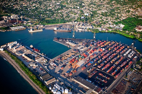
Manzanillo
Northwest Zone, Montecristi
Enterprise: Corporación Portuaria del Atlántico
It is located in the bay of Manzanillo, near the border with Haiti, the geographical position of latitude 19 ° 43 N and longitude 71 ° 45 W. It is provided with a draft of 48 feet port quay length of 227.7 meters with input channel 600 meters wide and 48 feet deep, rated one of the deepest inlets of the Dominican coast.
It was built in the 50s with the establishment of the Dominican Fruit Company (Grenada), an American company dedicated to the shipment of bananas and other fruits harvested in the region. Today the Port of Manzanillo operates downloads clinker, the raw material for the manufacture of cement, also serves the export of agricultural products to Europe and occasionally handling small volumes of general cargo and containerized cargo.
Geographical Position
- Lattitude: 19º - 43.‘ N
- Longitude: 71º - 45.‘ W
Technical Data
- Time Zone: -4 GMT
- Tidal Variation: 0.75 M
- Dock´s Depth: 227.70 lineal mts
- Port´s Depth: 48 ft
- Berth´s Depth: 36 -30 -25 ft
- Arrival Channel: 600 lineal mts
- Arrival Channel Depht: 0 ft
- Manioubre Circle: 600 mts
- Berths:According to the length of ships
- Docks Type: Breakwater Shaped
- LightHouse: N/A
- Security: PBIP Code
Operation
- Export : Refrigerated containers ( banana and fruits )
- Import: General Cargo and loose load ( clinkler and coal )