Samaná
Northeast, Samaná.
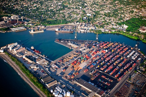
Located in the northeast of the country, meeting this port located in the geographical position of latitude 19 ° 12 N and longitude 69 ° 26 W. It has a draft of 38 feet in port has a dock length of 229.5 meters with a input channel 300 meters wide and a depth of 36 feet.
The port was opened in 1877, designed as a tax-free terminal for the collection, storage and sale of goods of all kinds. For some years he served as anchorage for a factory ship of clinkler for local consumption and export being leased after the importing company Fruit Dole and then to an Italian company for the promotion of a tourism project that was not executed.Currently, the port of Samaná has little movement, although he is described as a great potential in view of the tourist and commercial activity in the area after the construction of the Santo Domingo-Samana and the inauguration of the new airport International El Catey.
Geographical Position
- Lattitude: 19º - 12´. ‘N
- Longitude: 69º - 19´. ‘W
Technical Data
- Time Zone: -4 GMT
- Tidal Variation: 0.75 M
- Docks Longitude: 229.5 mts
- Ports Depth: 38 ft
- Berth Depht: 29-31 ft
- Arrival Channel: 300 lineal mts
- Arrical Channel: 36 ft
- Manioubre Circle: 450 mts
- Beacon: 20 buoys (6 markers, 5 green, 9 reds)
- Directions: 2940 by 9.06 MN Recommended 2600 by 1.6 MN To Dock 3030 by 2.07 MN 2510 by 3.33 MN 2890 by 3.33 MN 0070 by 2.26 MN
Operations
- Load and Unload